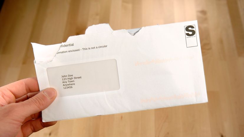
The United States uses zip codes, and there are currently 41,704 codes pointing to different delivery points across the country.
The zip stands for "Zone Improvement Plan," a 1963 program to enhance mail sorting and deliver mail more efficiently. It did more to identify locations; postal codes also made it easier to establish mailing routes.
The U.S. Postal Service started using zip codes on July 1, 1963. This new system cut down on the amount of sorting — mail previously went through about 17 stops — for post offices. Zip codes replaced an older system that eventually became too cumbersome as the need for more postal zones increased.
Deciphering U.S. Zip Codes
The five digits each correspond to a specific area. For example, the first digit ranges from 0 to 9 and is for the general area. The number 0 is for the Northeast area, and 9 is for the West Coast, Hawaii and Alaska. The two numbers that follow are for the regional area and the last two numbers are for the post office or postal zone.
Modern-day postal codes in the United States have remained mostly the same, though some changes have taken root. For example, in 1983, there was an addition of the +4 Code, the four additional digits that follow a zip code, which made post codes even more specific and deliveries more expedient.
99701: The Jolliest Zip Code
To help bring attention to the five-digit zip code, the Post Office enlisted Santa Claus' help. It encouraged children to address letters to Santa with his new zip code: 99701.
