USPS Mail Delivery
So, with all of the USPS' staff and infrastructure, what actually happens when you place an outgoing letter in your mailbox or a blue community collection box? Here is a brief rundown [source: SafeCutters]:
- A postal carrier collects your letter and takes it to your local post office. There, all of the mail is placed on a truck and taken to a mail processing plant.
- At the mail processing plant, machines separate the mail by shape and size. They also orient the packages so their addresses are right side up and facing the same direction. Your letter gets its postmark, and machines print cancellation lines across postage stamps to prevent them from being reused.
- A unique fluorescent bar code is imprinted on the back of each piece of mail. An optical scanner scans the address, and then a bar code representing the specific address is sprayed on the front of the envelope. If the scanner can't read the address, the letter is manually sorted.
- Other processing machines read the bar codes and direct the letters into bins based on ZIP codes — this indicates the next processing plant in the region where the letter will ultimately be delivered. (Each post office is served by a mail processing plant.) From the bins, the letters are sorted into trays by ZIP code and flown or trucked to the next processing.
- At the final processing plant, sorting machines read the bar codes and sort the letters by carrier and into delivery order for that carrier.
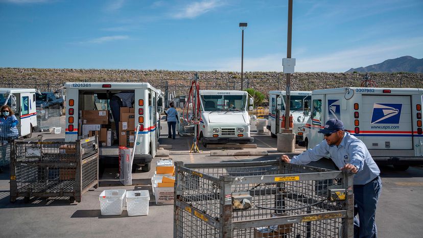
- The letters are taken to the individual post offices, and the carriers load the trays into their individual vehicles for final delivery.
To take advantage of automation and its optical scanners, the USPS has guidelines for addressing letters. Your letter won't be thrown out if you don't follow the guidelines, but using them can speed up delivery.
Advertisement
- Print both the delivery and return addresses on the same side of your envelope or card and make sure they're running parallel to the longest side.
- Capital letters are preferred. Don't use punctuation.
- Use at least a 10-point type and a plain font. The address should be legible at arm's length and be able to be read by a machine.
- Always put the attention line (e.g., "Attention: John Doe") ABOVE the delivery address. Don't put it below the city and state or in the bottom corner of your mail piece.
- If you can't fit the suite or apartment number on the same line as the delivery address, put it on the line ABOVE the delivery address, NOT below it.
- Be sure to include words like "east" and "west" if they are part of the address. These are called directionals and are VERY important to ensuring your mail piece is delivered.